The Hardware
ENTERPRISE FLEET
Six purpose-built aircraft covering every operational scenario — from cinematic FPV to enterprise thermal surveillance.
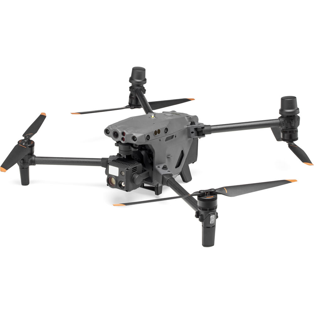
DJI M30T
Enterprise Thermal
Inspection · SAR · Infrastructure
Thermal640×512 IR
Zoom200× Hybrid
Wide Cam48 MP
IP RatingIP55
Wind Resist15 m/s
Flight41 min
Range15 km O3
Laser1,200 m
Thermal640×512 IR
Zoom200× Hybrid
Wide Cam48 MP
IP RatingIP55
Wind Resist15 m/s
Flight41 min
Range15 km O3
Laser1,200 m
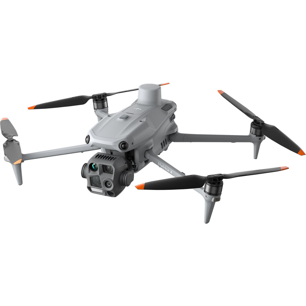
DJI M4TD
Enterprise Tactical
Recon · Security · Long-Range Ops
SensorsQuad-Eye
ThermalRadiometric IR
Zoom28× Optical
NightStarlight
Spotlight30,000 lm
Flight42 min
Range10 km O4+
Wind12 m/s
SensorsQuad-Eye
ThermalRadiometric IR
Zoom28× Optical
NightStarlight
Spotlight30,000 lm
Flight42 min
Range10 km O4+
Wind12 m/s
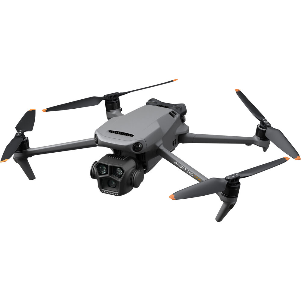
Mavic 3 Pro
Cinematic Tri-Lens
Film · Events · Real Estate · Mapping
Sensor4/3" Hasselblad
Video5.1K HDR 50fps
Lenses24 / 70 / 166mm
ColorD-Log M / HLG
Photo20 MP RAW
Flight43 min
Range15 km O3+
ObstacleOmnidirectional
Sensor4/3" Hasselblad
Video5.1K HDR 50fps
Lenses24 / 70 / 166mm
ColorD-Log M / HLG
Photo20 MP RAW
Flight43 min
Range15 km O3+
ObstacleOmnidirectional
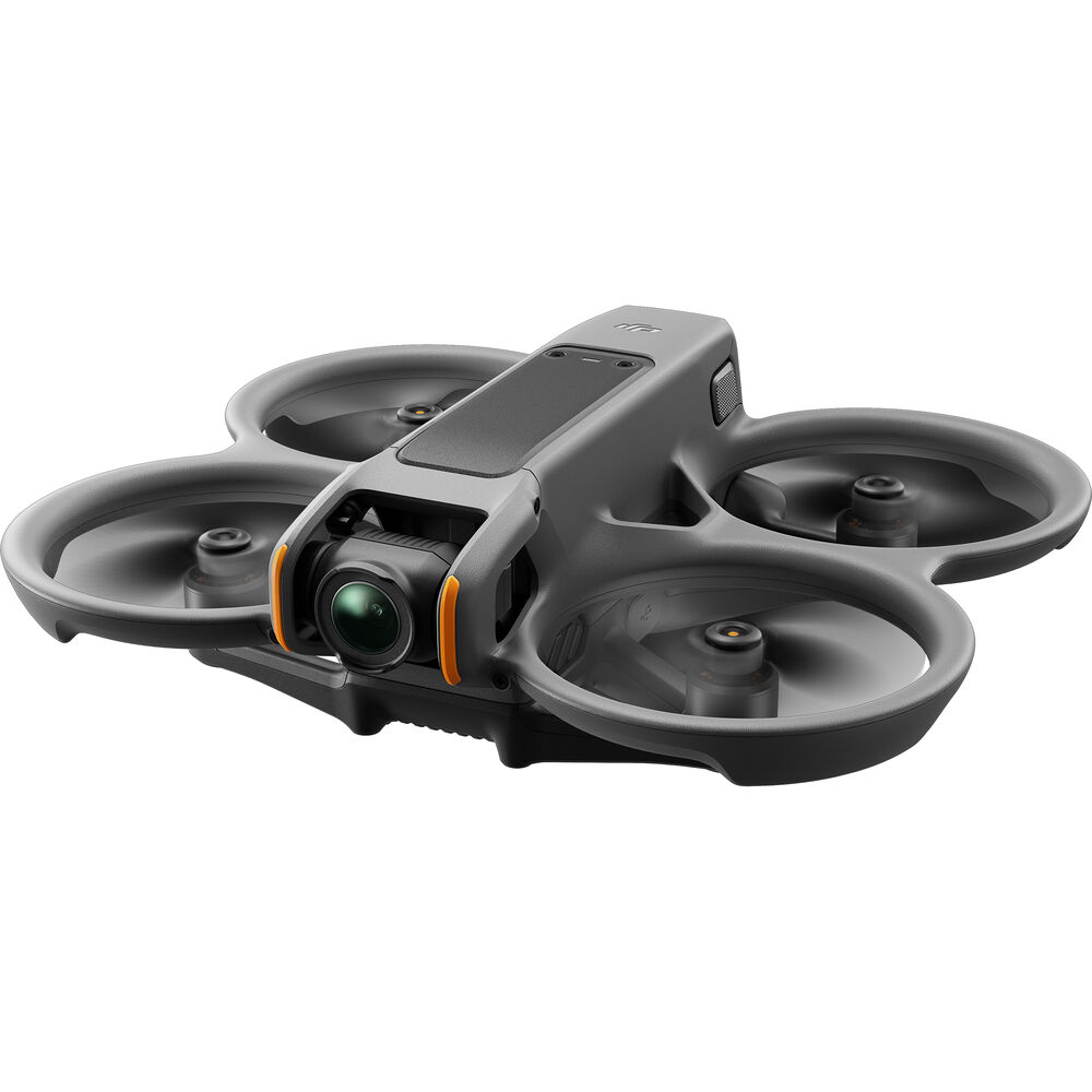
Avata 2
FPV Cinewhoop
Immersive FPV · Indoor · Confined Spaces
Video4K / 60fps
FOV155° Ultra-Wide
StabilisationRockSteady 3.0
Prop GuardsFully Ducted
Flight23 min
GogglesGoggles 3 O4
ModesN / S / Manual
Weight377 g
Video4K / 60fps
FOV155° Ultra-Wide
StabilisationRockSteady 3.0
Prop GuardsFully Ducted
Flight23 min
GogglesGoggles 3 O4
ModesN / S / Manual
Weight377 g
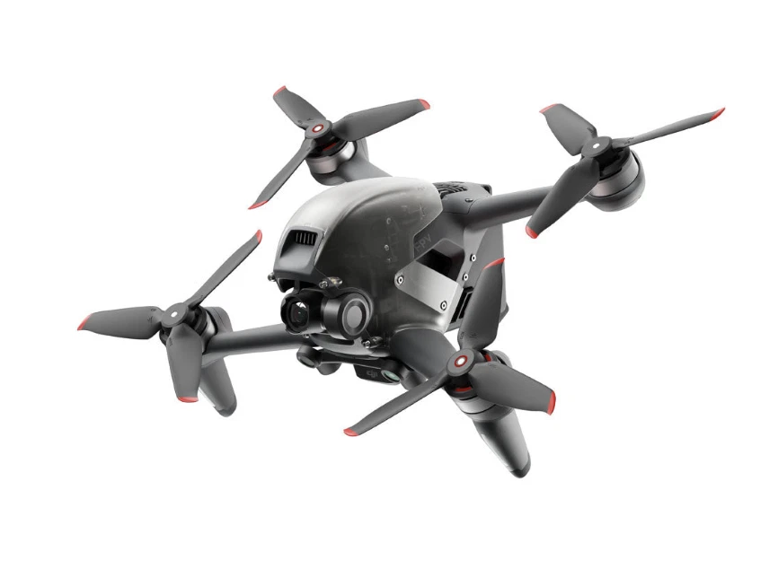
DJI FPV
High-Speed Pursuit
Action · Pursuit · Dynamic Reveal
Top Speed140 km/h
0 → 1002 seconds
Video4K / 60fps
Latency< 28 ms
Flight20 min
ModesN / S / Manual
StabilisationEIS 3-axis
Weight795 g
Top Speed140 km/h
0 → 1002 seconds
Video4K / 60fps
Latency< 28 ms
Flight20 min
ModesN / S / Manual
StabilisationEIS 3-axis
Weight795 g
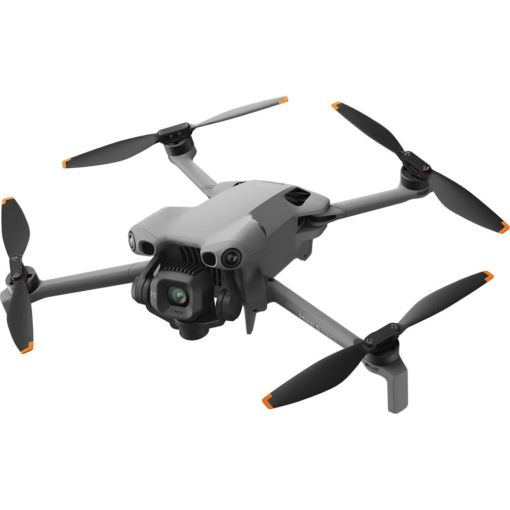
Mini 5 Pro
Compact Precision
Versatile · Permit-Free · Rapid Deploy
Weight< 249 g
Sensor1-Inch CMOS
Aperturef/1.7 – f/11
Video4K / 60fps
Flight51 min
Range20 km O4
Wind10.7 m/s
ObstacleOmnidirectional
Weight< 249 g
Sensor1-Inch CMOS
Aperturef/1.7 – f/11
Video4K / 60fps
Flight51 min
Range20 km O4
Wind10.7 m/s
ObstacleOmnidirectional